

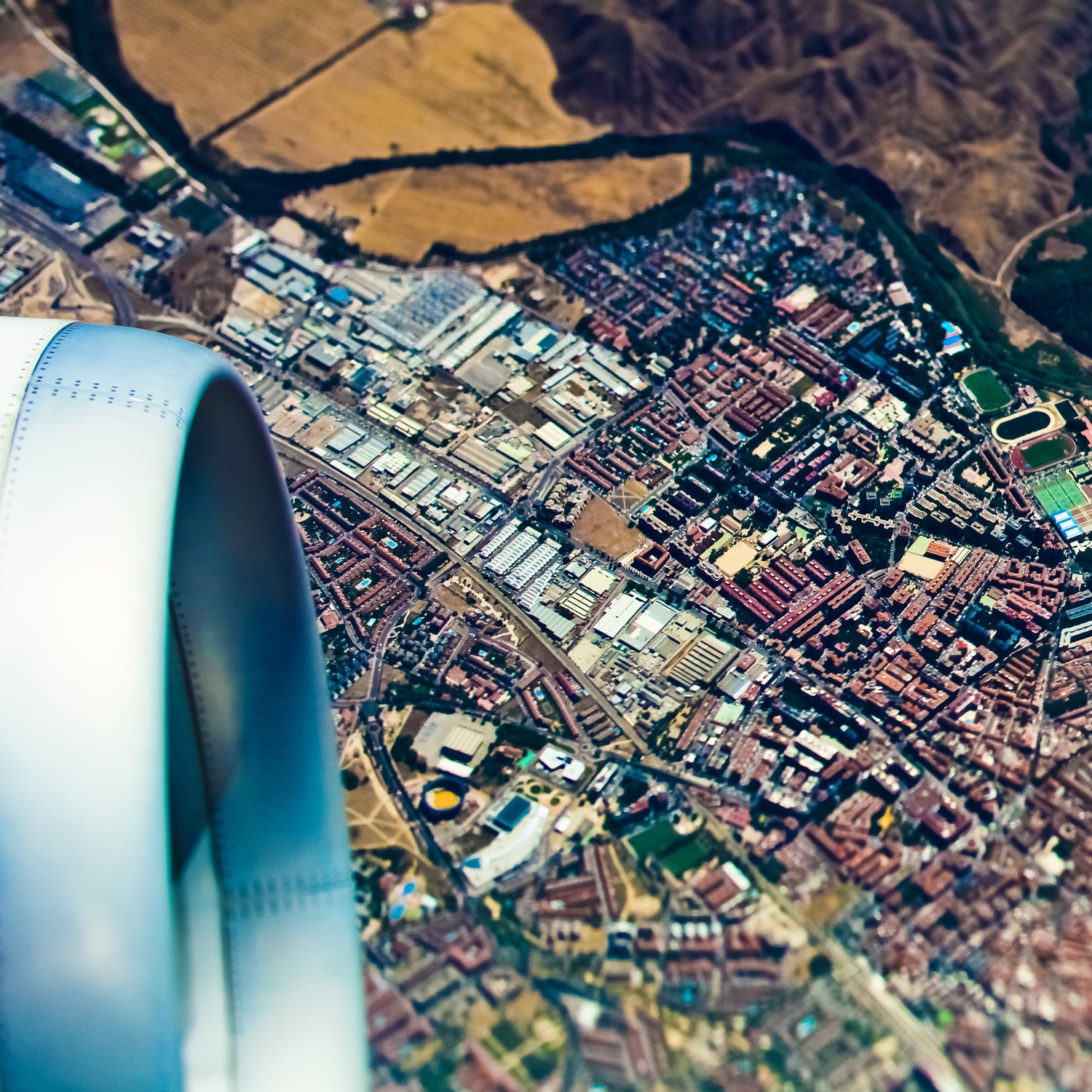
The flight between London and Frankfurt isn’t all that visually interesting, but , I couldn’t stop looking out the window.
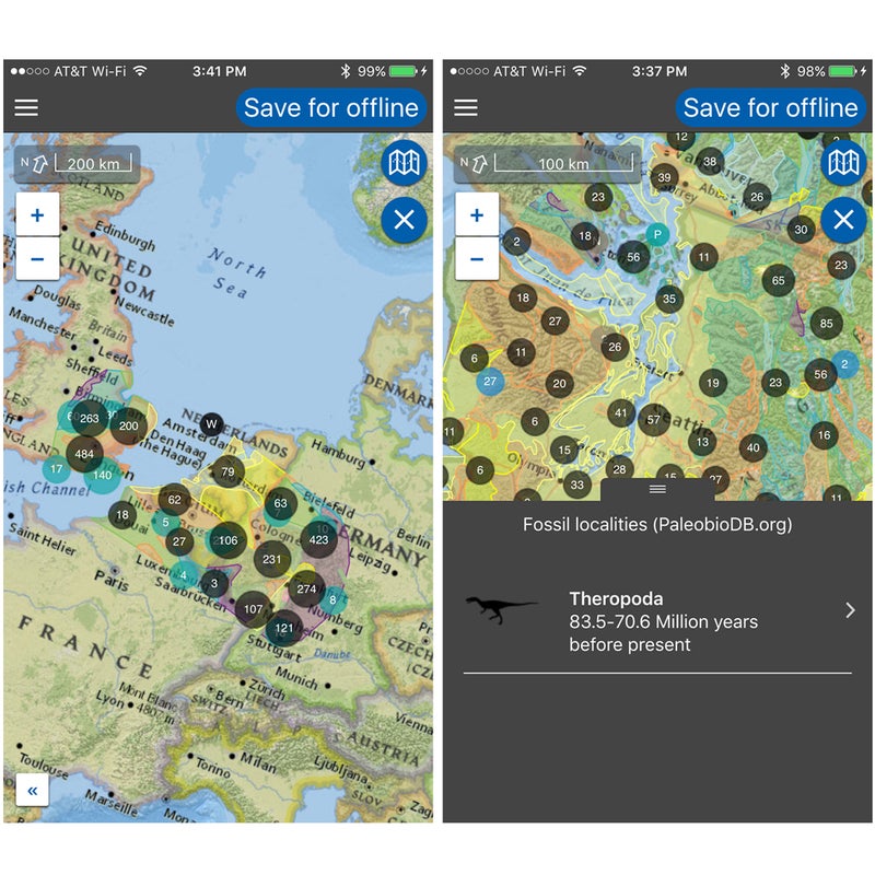
The app uses your phone’s GPS chip, even in airplane mode, to track your location and provide fun geographical, geological, and historical facts about what’s below. For example, during the flight, I learned about the HMHS Lanfranc, a hospital ship torpedoed by the Germans during World War I that’s still at the bottom of the English Channel. I also learned that the Rhine River’s headwaters are in southern Switzerland, and I read about the famous Koppenberg hill climb in Ardennes, Belgium, known for crushing cyclists in the Tour of Flanders because it’s as steep as 22 percent and covered in greasy cobblestones.
The app doesn’t store all of this information at all times. Instead, it prompts you to enter a start and end point before getting on the plane. The app then scours its database and downloads relevant information. Geologic information comes from , fossil data comes from and , and everything else comes from Wikipedia. Tap an icon to reveal information as you pass over a predownloaded area.
Flyover Country is the creation of Amy Myrbo and Shane Loeffler, geologists at the University of Minnesota who applied for a National Science Foundation grant to help make geological information more accessible and more fun. Loeffler says the idea occurred to him on a flight, naturally.
The app is mostly accurate but not perfect. Most of what it shows you should be relatively close to your flight path, but it does stray a little far at times if, for example, the pilot has to take a new route to avoid bad weather. Down the road, Myrbo and Loeffler want to augment the app, eventually including a feature that, using the GPS chip, could identify landmarks and call up information once it locks on. “It’s not a terribly hard problem as long as the compass sensors in phones aren’t too confused by the plane’s fuselage,” Loeffler says.
Loeffler also wants to add more data sources, like information about climbing routes. Theoretically, you would fly out of Jackson Hole and point your phone at the window, and the app would show you an overlay of routes up the Grand Teton. “We’re geologists, so we’re always going to be mainly focused on the landscape formations, but adding the ground cover…is absolutely relevant,” he says. The app might also eventually point you to podcasts (from other sources) that talk about what you’re seeing.
And here’s the best part: You don’t have to use the app in a plane. You can download a driving or hiking route, and the app will still pull nearby information. You won’t be able to see all the points of interest like you would from a plane, but your route will still be significantly more interesting.