
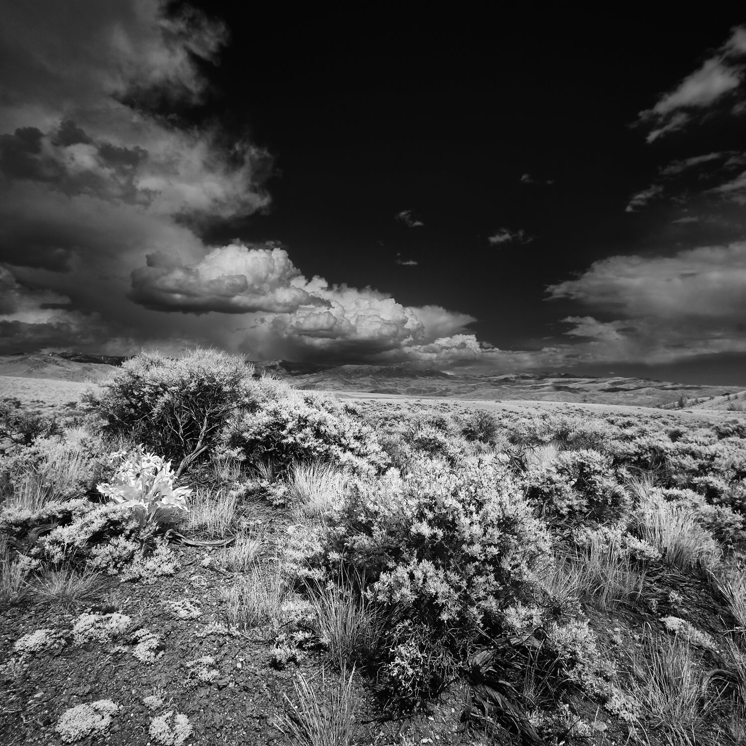
Researchers at Boise State University are using drones to map the western Idaho landscape to help mitigate the effects of wildfires, Wednesday. They plan to use the drones to assist in replenishing native plants, such as sagebrush, a major source of food for sage grouse.
The three subspecies of sagebrush—Wyoming, mountain, and basin—are hard to differentiate, but drones may help. Jennifer Forbey, a BSU biology professor working on the project, told the AP that the drone they’re using has three types of lenses. Flying drones over the landscape, then combining footage from the three lenses, could help identify the subspecies. The drones, which can cover one square kilometer in two hours, are more practical than sending mappers out on foot.
A comprehensive map of where each subspecies grows will make it easier to know which type to replant in the aftermath of a wildfire. Replanting the native sagebrush will keep invasive species from moving in and robbing the sage grouse—a candidate for protection under the Endangered Species Act, —of their food source.
Forbey told the AP it will take several months to see if the drone mapping plan will work.