

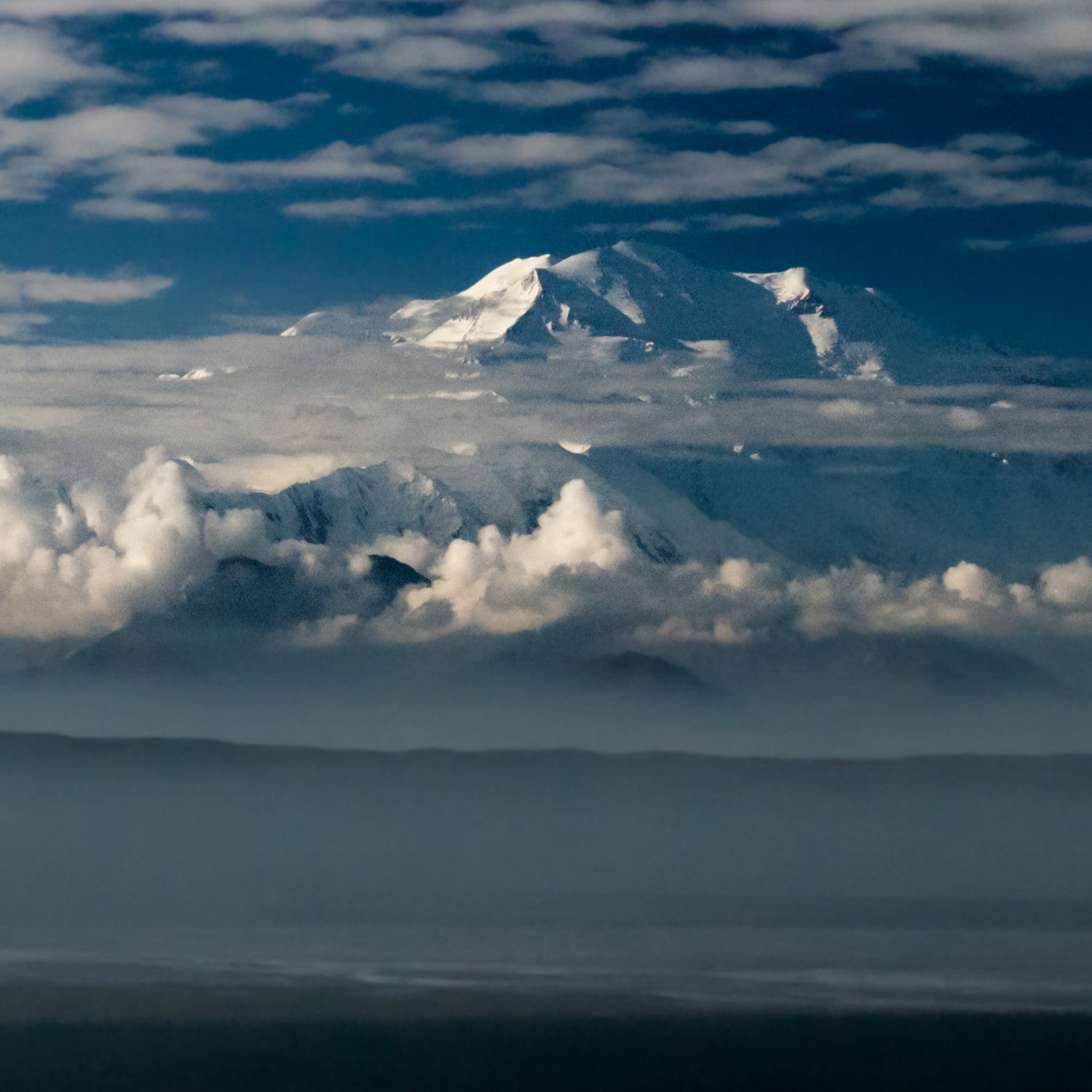
Rising more than 20,000 feet above sea level, Denali is the highest peak in North America. But here’s the thing: Nobody knows exactly how high it is.
Three weeks ago, a group of climbers headed to the mountain to answer this question. They’re part of a led by the University of Alaska Fairbanks and survey company and funded by various governmental agencies, including the U.S. Geological Survey and the National Oceanic and Atmospheric Administration, to put an end to the controversy once and for all.
“It just seemed crazy to me that we don’t know the elevation of the highest mountain in the U.S. It’s disputed by more than 23 meters [or 75 feet], which is a lot,” says Blaine Horner, a former Denali guide and one of the climbers from CompassData.
It’s not like groups haven’t tried to come up with an exact height before. Many have, but they’ve all arrived at different numbers, using old, disputed technology. The widely accepted elevation of Denali (20,320 feet) is based on a survey Bradford Washburn completed in 1953. Since GPS wasn’t a thing back then, he used a process called photogrammetry, which relies on aerial photography, to figure out the mountain’s height.
Thirty-six years later, another group used an early version of GPS to measure the mountain. They came up with an elevation of 20,306 feet. Then, in 2013, another survey outfitted a plane with remote sensors, flew over the peak, and pegged the height at 20,237 feet. (That’s the stated elevation you’ll find if you search Wikipedia.)
“It just seemed crazy to me that we don’t know the elevation of the highest mountain in the U.S. It’s disputed by more than 75 feet, which is a lot,” says Blaine Horner.
The 2015 project differs from both the 1953 and 2013 surveys because it’s sending climbers to the summit. “With our project, we actually had boots on the ground,” Horner says. “If you come over the south side of Denali in a plane, you have this insane vertical relief, and it’s going to be pretty hard for any sensor to keep up with that.” This survey will also be more accurate than the 1989 mission because there are more (and more accurate) satellites for the survey equipment to communicate with.
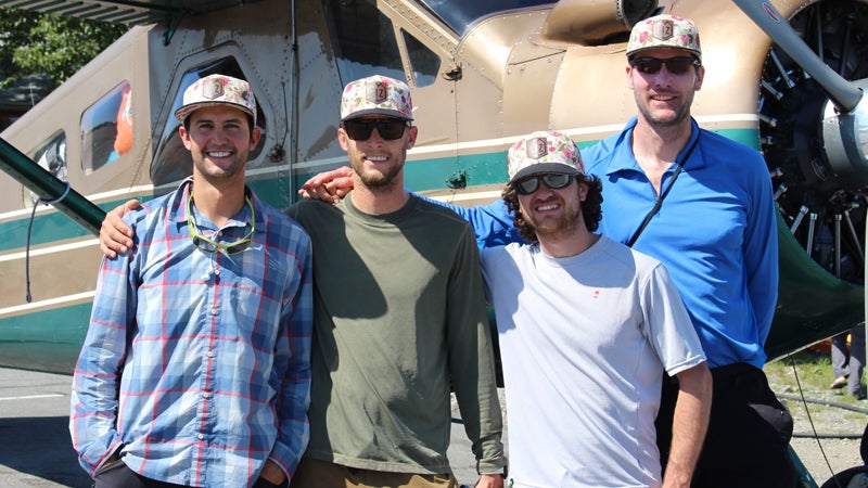
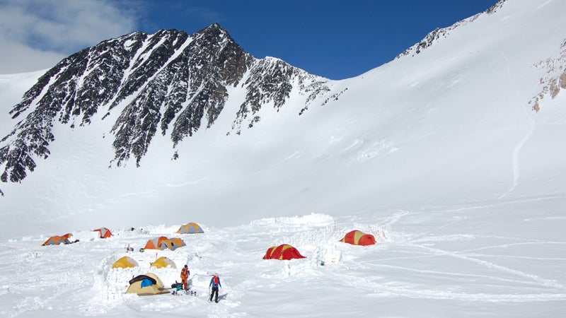
Ten days after Horner and his colleague Agustin Karriere arrived at base camp, the pair summited and began taking measurements. (Two others on the team remained at 14,200 feet in a support role.) It was a clear day, zero degrees, and no wind—balmy as far as Denali summit days go.
They set up two different pieces of survey equipment—a Trimble NetR9 and a Trimble R10—to measure the exact location and elevation of the summit. One device was placed at the true summit; the other was set 2.5 meters back, but with its antenna at the same height as the first to get the same elevation. Both devices measured the summit’s location and elevation by accessing satellites from three different groups: GPS, the Russian version of GPS called GLONASS, and another group of satellites called QZSS.
The two receivers communicated with the satellites. By figuring out their distance from a group of satellites, the receivers determined their exact location on the ground. The results should be accurate down to the centimeter.
Because batteries tend to die in the cold, Horner and Karriere hooked up each unit to an independent motorcycle battery to keep the devices warm and their internal batteries charged. Both units recorded data for 23 hours straight until a guided group retrieved them the next day.
Results from the survey could be available by mid-August.